Severe flooding inundated the streets of Santiago de Cuba on October 28, triggered by heavy rains and strong winds as Hurricane Melissa edged closer

After Cuba, the Bahamas are next in Melissa's path to the northeast. The government there has ordered evacuations of residents in southern portions of that archipelago

Hurricane Melissa made landfall on the southern coast of eastern Cuba on October 29 as a Category 3 hurricane, NHC said in its latest advisory. Melissa was located about 60 miles west-southwest of Guantanamo, Cuba, with maximum sustained winds of 120 mph, the forecaster said

Heavy rains hit Cuba’s second largest city, Santiago de Cuba, on October 28, hours before Hurricane Melissa was set to make landfall. It is the third most intense hurricane observed in the Caribbean after Wilma in 2005 and Gilbert in 1988, according to AccuWeather.
Cuba, Haiti and other neighboring islands could face days of intense wind and rain as the storm continues to push northeast through the Caribbean and away from the US mainland. Follow the cyclone with the latest maps and forecasts:

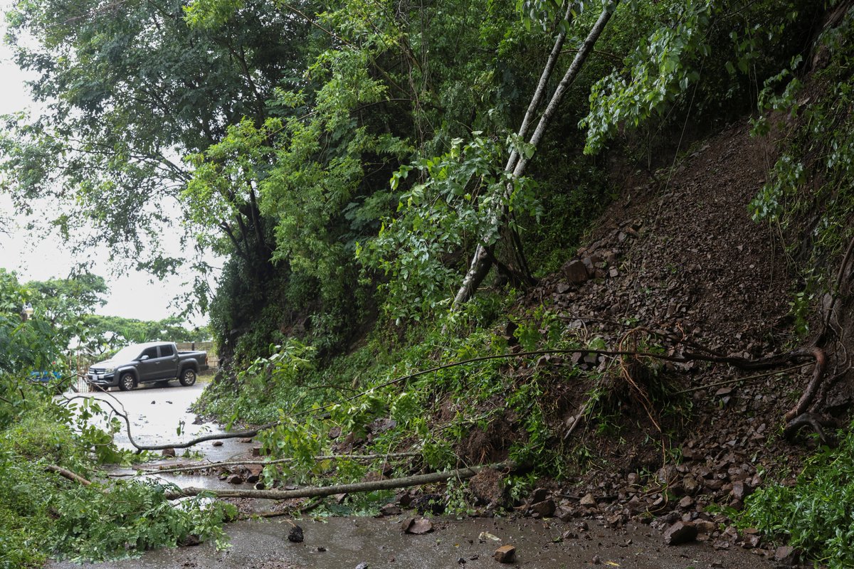
'Life-threatening storm surge, flash flooding and landslides, and damaging hurricane winds are ongoing this morning,' the US National Hurricane Center said after Melissa hit the southern coast of eastern Cuba
The timing of Hurricane Melissa could not be worse for the communist-run Caribbean island. Cuba is already suffering from food, fuel, electricity and medicine shortages that have complicated life for many, prompting record-breaking migration off the island since 2021

LIVE: Aftermath of Hurricane Melissa in Jamaica
LIVE: Jamaicans assess the damage after Hurricane Melissa blasted the Caribbean island